Sydney Catchment Authority:
Compliance Support System
CSS
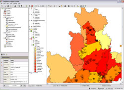
CSS with map
project name
Sydney Catchment Authority - Compliance Support System
the aim
The Sydney Catchment Authority (SCA) required an integrated information system to support staff and management in the performance of the SCA's compliance program. Spatial Intelligence was commissioned to develop a spatially enabled application to meet these requirements.
the solution
The Compliance Support System (CSS) is a GIS enabled compliance support system that was developed based on the following components:- Microsoft Windows
- Microsoft .Net
- SQL Server
- ESRI ArcSDE
- ESRI MapObjects
- TRIM version 4.3
- Microsoft Office 2000
- Citrix
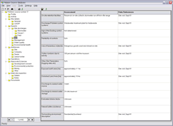
This system allows the SCA to record information and documents on catchment issues. The CSS:
- Stores details of any issues identified in the catchment area.
- Allows automatic and manual allocation of issues to officers.
- Allows officers and managers to create, allocate and schedule actions to handle each issue.
- Provides an audit trail of changes made to the CSS database.
- Produces reports.
- Shows documentation that relates to an issue or action
- Allows officers to review and update issues and actions allocated to them
Tags
more details
For more details please use our 'Contact us' page or email us at info@spatialintelligence.com.au